 Outdoors Nearby
Playgrounds in Bakersfield, CA
70 parks with playgrounds in Bakersfield, CA: 22 with restrooms, 3 with a splash pad and 3 with a dog park. On the map, 34 have a drinking fountain, 17 have picnic tables or a shelter and 10 have a ball field.
- Directions
Jastro Park
Play equipment: water play
- Directions
Martin Luther King Park
- Directions
Siemon Park
Play equipment: water play
- Directions
Wayside Park
Play equipment: water play
- Directions
Centennial Park
- Directions
Farm Park
- Directions
Fruitvale Norris Park
- Directions
Jefferson Park
- Directions
Kern River Parkway Park
- Directions
Westdale Park
For a day at the playground
-
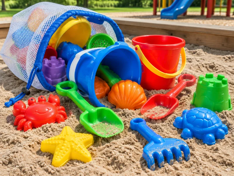 Illustration Top pick Beach and sandbox toy set with mesh bag Buckets, shovels and molds in a mesh bag that shakes the sand out before it goes back in the car. View on Amazon
 -
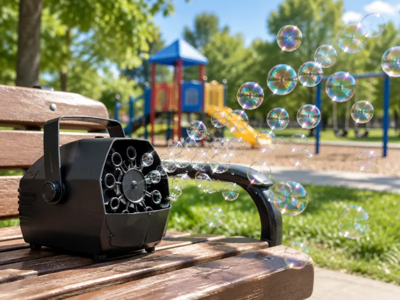 Illustration Bestseller Automatic bubble machine for kids (battery or plug-in) Set it on a bench and toddlers chase bubbles for half an hour while you sit down for once. View on Amazon
 -
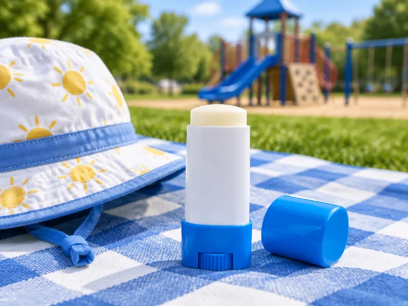 Illustration Neutrogena Beach Defense Kids sunscreen stick SPF 60+ A stick is quicker than lotion on a wriggly kid: swipe on nose, cheeks and ears before the slide. View on Amazon
We haven't tested these ourselves; we chose them by size and specs. As an Amazon Associate we earn from qualifying purchases, at no extra cost to you. Check the current price on Amazon.
- Directions
Wilson Park
- Directions
Beale Park
- Directions
Bridle Creek Park
- Directions
Campus Park S.
- Directions
Casa Loma County Park
- Directions
Challenger Park
- Directions
Deer Peak Park
- Directions
Hughes Park
- Directions
Liberty Park
- Directions
Lowell Park
- Directions
Madison Grove Park
- Directions
North Beardley Park
- Directions
Patriots Park
- Directions
Pin Oak Park
- Directions
Planz Park
- Directions
Polo Community Park
- Directions
River Oaks Park
- Directions
Riverlakes Ranch Park
- Directions
Saunders Park
- Directions
Silver Creek Park
- Directions
Tradewinds Park
- Directions
Windermere Park
- Directions
Almondale Park
- Directions
Beach Park
- Directions
Belcourt Park
- Directions
Bill Park Greens
- Directions
Flight Park
- Directions
Granite Pointe Park
- Directions
Greystone Park
- Directions
Grissom Park
- Directions
Haggin Oaks Park
- Directions
Kroll Park
- Directions
MC Cray Park
- Directions
North Highland Park
- Directions
North Meadows Park
- Directions
North Rosedale Park
- Directions
Olive Park West
- Directions
Seasons Park
- Directions
Standard Park
- Directions
Stone Creek Park
- Directions
Tevis Park
- Directions
The Park at River Walk
- Directions
Wilderness Park
- Directions
Windsor Park
- Directions
Yokuts Park
- Directions
Amberton Park
- Directions
Campus Park N.
- Directions
Castle Park
- Directions
Central Park
- Directions
Coral Keys Park
- Directions
Corvallis Park
- Directions
Garden Park
- Directions
Olive Park East
- Directions
Quailwood Park
- Directions
Sears Park
- Directions
Solera Gardens Park
- Directions
Stiern Park
- Directions
Train Park
- Directions
University Park
- Directions
Westwood Park
Source: OpenStreetMap. The Bakersfield parks department sets hours and rules; the signs on site are the final word.
More in Bakersfield
Search playgrounds near another place
Frequently asked questions
How many playgrounds are in Bakersfield?
We list 70 parks with playgrounds in Bakersfield.
Where are the playgrounds in Bakersfield?
Jastro Park, Martin Luther King Park, Siemon Park, Wayside Park, Centennial Park and Farm Park and 64 more.
Which Bakersfield parks with playgrounds have restrooms?
Jastro Park, Martin Luther King Park, Siemon Park, Wayside Park, Centennial Park and Jefferson Park and 16 more.
Which playgrounds in Bakersfield have drinking water?
Martin Luther King Park, Siemon Park, Wayside Park, Centennial Park and Jefferson Park and 29 more have a drinking fountain on the map.
Where can you have a picnic near the playgrounds in Bakersfield?
Farm Park, Westdale Park, Bridle Creek Park, Casa Loma County Park and Tradewinds Park and 12 more have picnic tables, and 12 of them a covered shelter.