 Outdoors Nearby
Devil's Canyon Jr Falls
Devil's Canyon Jr Falls is a waterfall in Arkansas, about 9 miles from Mulberry. On the map it is about 20 feet (6 m) high. There are 8 other named waterfalls within 20 miles.
| Location | Near Mulberry, Arkansas Directions |
|---|---|
| Height | about 20 ft (6 m) |
Location and details from OpenStreetMap. Water levels rise quickly after rain upstream, so keep away from the edge.
Best time to visit: Devil's Canyon Jr Falls
Around Mulberry the most rainy days fall from April to June (about 7 per month). January is the driest month with about 5 rainy days, so smaller falls can thin out then. From December to February average lows are 26 to 29 °F. Forest roads to some falls close in winter, so check with the land manager first. In summer it gets up to 92 °F, so an early start beats the heat on the trail.
| Month | High | Low | Rain days |
|---|---|---|---|
| Jan | 49 °F | 26 °F | 5 |
| Feb | 54 °F | 29 °F | 5 |
| Mar | 63 °F | 37 °F | 7 |
| Apr | 72 °F | 46 °F | 7 |
| May | 79 °F | 55 °F | 9 |
| Jun | 87 °F | 64 °F | 7 |
| Jul | 92 °F | 67 °F | 6 |
| Aug | 91 °F | 66 °F | 5 |
| Sep | 84 °F | 58 °F | 6 |
| Oct | 74 °F | 47 °F | 6 |
| Nov | 61 °F | 36 °F | 6 |
| Dec | 52 °F | 29 °F | 5 |
For the trail to the falls
-
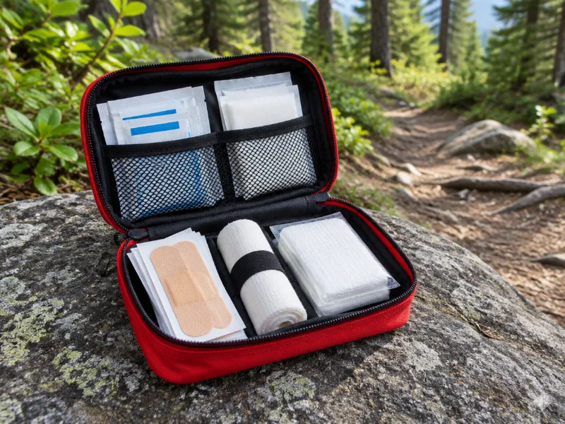 Illustration Protect Life small travel first aid kit Slips and scraped knees happen on wet trails. A small kit fits any daypack. View on Amazon
 -
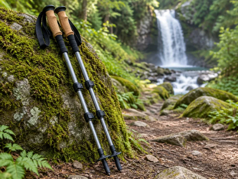 Illustration Bestseller TrailBuddy collapsible aluminum trekking poles (pair) Extra balance on wet rock and steep, muddy trails down to a waterfall. They fold short enough for a daypack. View on Amazon
We haven't tested these ourselves; we chose them by size and specs. As an Amazon Associate we earn from qualifying purchases, at no extra cost to you. Check the current price on Amazon.
More waterfalls nearby
- Devil's Canyon Falls 62 ft · near Mulberry · 1 mi Directions
- White Rock Creek Falls 33 ft · near Mulberry · 4 mi Directions
- White Rock Creek Cascade 10 ft · near Mulberry · 4 mi Directions
- Dockery Gap Falls 36 ft · near Mulberry · 6 mi Directions
- Jack White Falls 43 ft · near Mulberry · 7 mi Directions
- Robinson Falls 16 ft · near Ozark · 8 mi Directions
- Spirit Creek Falls 7 ft · near Ozark · 8 mi Directions
- Artist Point Falls 16 ft · near West Fork · 8 mi Directions
Frequently asked questions
How do I get to Devil's Canyon Jr Falls?
In Arkansas, about 9 miles from Mulberry, at 35.6347, -94.0310. Use the directions link, and check the trailhead and parking with the land manager.
How tall is Devil's Canyon Jr Falls?
About 20 feet (6 meters), according to OpenStreetMap.
When does Devil's Canyon Jr Falls have the most water?
Around Mulberry the most rainy days fall from April to June (about 7 per month). January is the driest month with about 5 rainy days, so smaller falls can thin out then.
What other waterfalls are near Devil's Canyon Jr Falls?
Devil's Canyon Falls (1 mi), White Rock Creek Falls (4 mi), White Rock Creek Cascade (4 mi) and Dockery Gap Falls (6 mi).