 Outdoors Nearby
Liles Falls
Liles Falls is a waterfall in Arkansas, about 13 miles from Harrison. It is mapped as about 43 feet (13 m) high. You can combine the trip with Triple Falls or Thunder Canyon Falls.
| Location | Near Harrison, Arkansas Directions |
|---|---|
| Height | about 43 ft (13 m) |
Location and details from OpenStreetMap. Most waterfall injuries happen off-trail, so stick to the marked path.
Best time to visit: Liles Falls
Coming from Springfield, MO? Liles Falls lies about 80 miles to the south, straight-line distance.
Flow depends on rain and snowmelt upstream. Around Harrison the most rainy days fall from March to May (about 8 per month). January is the driest month with about 4 rainy days, when small streams can slow to a trickle. From January to February average lows are 28 to 30 °F. Expect ice near the falls and check whether the road or trail is open. Summer highs reach 90 °F, so an early start beats the heat on the trail.
| Month | High | Low | Rain days |
|---|---|---|---|
| Jan | 47 °F | 28 °F | 4 |
| Feb | 52 °F | 30 °F | 5 |
| Mar | 60 °F | 39 °F | 7 |
| Apr | 69 °F | 47 °F | 7 |
| May | 77 °F | 57 °F | 8 |
| Jun | 85 °F | 65 °F | 6 |
| Jul | 89 °F | 68 °F | 6 |
| Aug | 90 °F | 67 °F | 6 |
| Sep | 82 °F | 60 °F | 5 |
| Oct | 71 °F | 49 °F | 6 |
| Nov | 59 °F | 38 °F | 5 |
| Dec | 49 °F | 31 °F | 5 |
For the trail to the falls
-
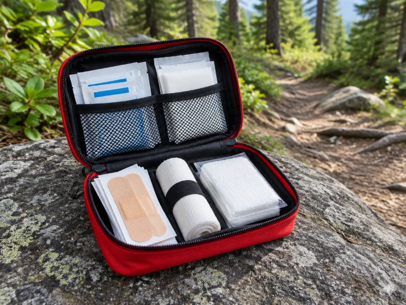 Illustration Protect Life small travel first aid kit Slips and scraped knees happen on wet trails. A small kit fits any daypack. View on Amazon
 -
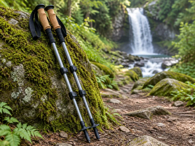 Illustration Bestseller TrailBuddy collapsible aluminum trekking poles (pair) Extra balance on wet rock and steep, muddy trails down to a waterfall. They fold short enough for a daypack. View on Amazon
We haven't tested these ourselves; we chose them by size and specs. As an Amazon Associate we earn from qualifying purchases, at no extra cost to you. Check the current price on Amazon.
More waterfalls nearby
- Triple Falls 49 ft · near Harrison · 3 mi Directions
- Thunder Canyon Falls 72 ft · near Harrison · 4 mi Directions
- Hideout Hollow Falls 36 ft · near Harrison · 4 mi Directions
- Marble Falls near Harrison · 5 mi Directions
- Broadwater Hollow Falls 20 ft · near Harrison · 5 mi Directions
- Paige Falls 7 ft · near Harrison · 5 mi Directions
- Copperhead Falls 13 ft · near Harrison · 5 mi Directions
- Tunnel Cave Falls 33 ft · near Harrison · 5 mi Directions
Frequently asked questions
Where is Liles Falls located?
In Arkansas, about 13 miles from Harrison, at 36.0571, -93.1955. Use the directions link, and check the trailhead and parking with the land manager.
How tall is Liles Falls?
About 43 feet (13 meters), according to OpenStreetMap.
When does Liles Falls have the most water?
Flow depends on rain and snowmelt upstream. Around Harrison the most rainy days fall from March to May (about 8 per month). January is the driest month with about 4 rainy days, when small streams can slow to a trickle.
How far is Liles Falls from Springfield, MO?
Coming from Springfield, MO? Liles Falls lies about 80 miles to the south, straight-line distance.
What other waterfalls are near Liles Falls?
Triple Falls (3 mi), Thunder Canyon Falls (4 mi), Hideout Hollow Falls (4 mi) and Marble Falls (5 mi).