 Outdoors Nearby
Hemlock Falls
Hemlock Falls is a waterfall in Georgia, about 11 miles from Hiawassee. You can combine the trip with Lower Sorrels Branch Falls or Upper Sorrels Branch Falls.
| Location | Near Hiawassee, Georgia Directions |
|---|---|
| Nearest trailhead | Hemlock Falls Hiking Trailhead, about 0.8 mi from the falls straight-line distance to Hemlock Falls; the trail itself is longer Directions to the trailhead |
Data: OpenStreetMap contributors. Rocks near falls are slippery, so stay on the trail and behind railings.
Best time to visit: Hemlock Falls
Hemlock Falls sits about 63 miles north of Athens, GA; driving distance is a bit longer.
Near Hiawassee the most rainy days fall in March, June and August (about 9 per month). October is the driest month with about 5 rainy days, when small streams can slow to a trickle. In January average lows are 30 °F. Microspikes and a headlamp belong in the pack on cold-season hikes.
| Month | High | Low | Rain days |
|---|---|---|---|
| Jan | 50 °F | 30 °F | 8 |
| Feb | 54 °F | 32 °F | 7 |
| Mar | 61 °F | 37 °F | 9 |
| Apr | 70 °F | 44 °F | 7 |
| May | 76 °F | 53 °F | 7 |
| Jun | 83 °F | 62 °F | 9 |
| Jul | 85 °F | 65 °F | 9 |
| Aug | 84 °F | 64 °F | 9 |
| Sep | 79 °F | 59 °F | 7 |
| Oct | 71 °F | 47 °F | 5 |
| Nov | 61 °F | 37 °F | 6 |
| Dec | 53 °F | 32 °F | 8 |
For the trail to the falls
-
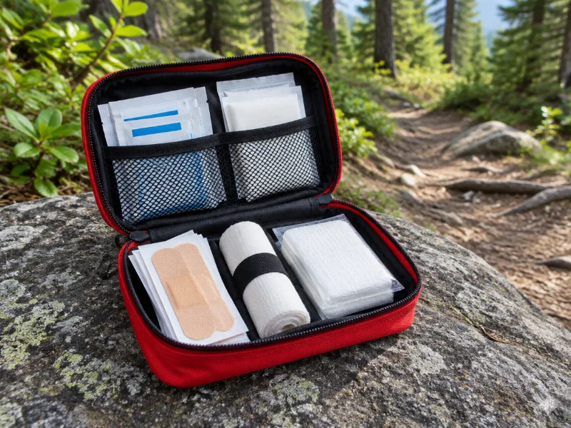 Illustration Protect Life small travel first aid kit Slips and scraped knees happen on wet trails. A small kit fits any daypack. View on Amazon
 -
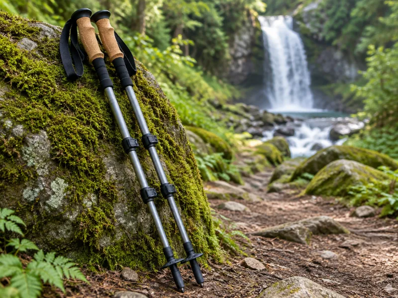 Illustration Bestseller TrailBuddy collapsible aluminum trekking poles (pair) Extra balance on wet rock and steep, muddy trails down to a waterfall. They fold short enough for a daypack. View on Amazon
We haven't tested these ourselves; we chose them by size and specs. As an Amazon Associate we earn from qualifying purchases, at no extra cost to you. Check the current price on Amazon.
More waterfalls nearby
- Lower Sorrels Branch Falls near Hiawassee · 8 mi Directions
- Upper Sorrels Branch Falls near Hiawassee · 8 mi Directions
- Anna Ruby Falls near Cleveland · 8 mi Directions
- Upper Garrett Branch Falls near Hiawassee · 9 mi Directions
- Lower Garrett Branch Falls near Hiawassee · 9 mi Directions
- Stonewall Falls near Clayton · 9 mi Directions
- Minnehaha Falls near Clarkesville · 10 mi Directions
- 501 Falls near Mountain City · 11 mi Directions
Frequently asked questions
How do I get to Hemlock Falls?
In Georgia, about 11 miles from Hiawassee, at 34.8527, -83.6108. Use the directions link, and check the trailhead and parking with the land manager.
Where do you park for Hemlock Falls?
The closest trailhead on the map is Hemlock Falls Hiking Trailhead, about 0.8 miles from Hemlock Falls in a straight line. Trail signs at the start usually give the walking distance.
What is the best season for Hemlock Falls?
Near Hiawassee the most rainy days fall in March, June and August (about 9 per month). October is the driest month with about 5 rainy days, when small streams can slow to a trickle.
How far is Hemlock Falls from Athens, GA?
Hemlock Falls sits about 63 miles north of Athens, GA; driving distance is a bit longer.
What other waterfalls are near Hemlock Falls?
Lower Sorrels Branch Falls (8 mi), Upper Sorrels Branch Falls (8 mi), Anna Ruby Falls (8 mi) and Upper Garrett Branch Falls (9 mi).