 Outdoors Nearby
Bond Falls
Bond Falls is a waterfall in Michigan, about 32 miles from Iron River. It is mapped as at 1,339 feet elevation. 5 more named falls lie within 20 miles.
| Location | Near Iron River, Michigan Directions |
|---|---|
| Elevation | 1,339 ft |
| More | Wikipedia |
Mapped by OpenStreetMap volunteers. Most waterfall injuries happen off-trail, so stick to the marked path.
For the trail to the falls
-
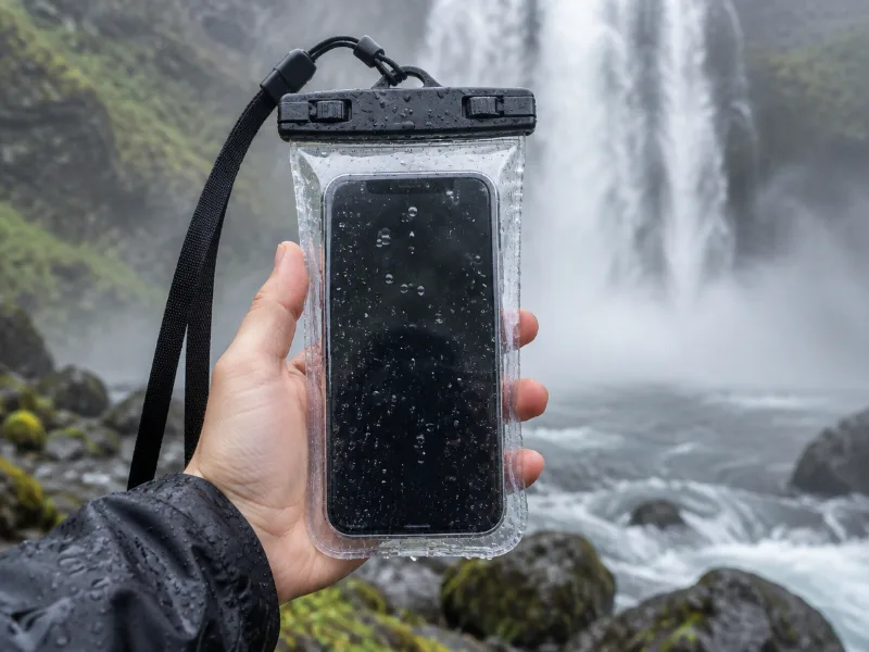 Illustration Lamicall waterproof phone pouch (IPX8) Keeps your phone dry in mist and spray near the falls, and you can still take photos through the clear window. View on Amazon
 -
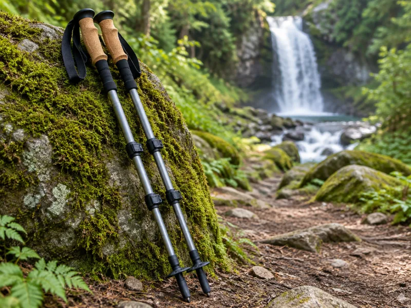 Illustration Bestseller TrailBuddy collapsible aluminum trekking poles (pair) Extra balance on wet rock and steep, muddy trails down to a waterfall. They fold short enough for a daypack. View on Amazon
We haven't tested these ourselves; we chose them by size and specs. As an Amazon Associate we earn from qualifying purchases, at no extra cost to you. Check the current price on Amazon.
More waterfalls nearby
- Upper Bond Falls near Iron River · 1 mi Directions
- Agate Falls near Ontonagon · 5 mi Directions
- Kakabika Falls near Wakefield · 16 mi Directions
- Konteka Falls near Ontonagon · 17 mi · trailhead 1 mi Directions
- O Kun de Kun Falls near Ontonagon · 17 mi · trailhead 1.1 mi Directions
Frequently asked questions
Where is Bond Falls?
In Michigan, about 32 miles from Iron River, at 46.4097, -89.1326. Directions lead to the waterfall itself, so check whether a trail starts near Iron River.
What other waterfalls are near Bond Falls?
Upper Bond Falls (1 mi), Agate Falls (5 mi), Kakabika Falls (16 mi) and Konteka Falls (17 mi).