 Outdoors Nearby
High Rock Falls
High Rock Falls is a waterfall in Pennsylvania, about 18 miles from Hughesville. OpenStreetMap lists it as about 26 feet (8 m) high. You can combine the trip with Cottonwood Falls or Alpine Falls.
| Location | Near Hughesville, Pennsylvania Directions |
|---|---|
| Nearest trailhead | Unnamed trailhead, about 0.2 mi from the falls straight-line distance to High Rock Falls; the trail itself is longer Directions to the trailhead |
| Height | about 26 ft (8 m) |
Mapped by OpenStreetMap volunteers. Rocks near falls are slippery, so stay on the trail and behind railings.
Best time to visit: High Rock Falls
Flow depends on rain and snowmelt upstream. Around Hughesville the most rainy days fall from May to July (about 9 per month). November is the driest month with about 7 rainy days, so smaller falls can thin out then. From November to March average lows are 14 to 29 °F. Forest roads to some falls close in winter, so check with the land manager first.
| Month | High | Low | Rain days |
|---|---|---|---|
| Jan | 29 °F | 14 °F | 9 |
| Feb | 32 °F | 15 °F | 7 |
| Mar | 40 °F | 22 °F | 8 |
| Apr | 54 °F | 33 °F | 8 |
| May | 65 °F | 44 °F | 9 |
| Jun | 73 °F | 54 °F | 9 |
| Jul | 78 °F | 58 °F | 9 |
| Aug | 75 °F | 56 °F | 8 |
| Sep | 68 °F | 49 °F | 8 |
| Oct | 56 °F | 38 °F | 8 |
| Nov | 44 °F | 29 °F | 7 |
| Dec | 34 °F | 20 °F | 8 |
For the trail to the falls
-
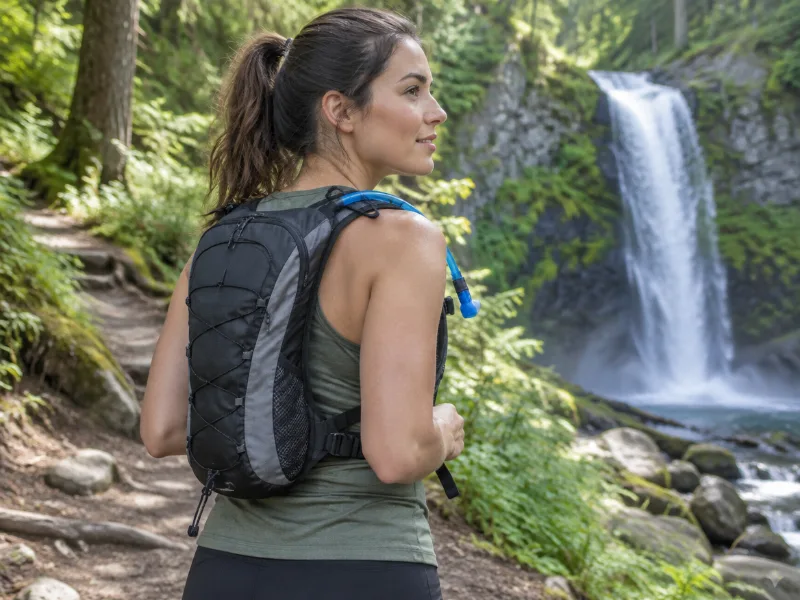 Illustration Bestseller Lightweight hydration backpack with 2L water bladder Sip while you climb back up from the falls. The return hike is usually the steep part. View on Amazon
 -
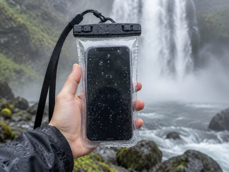 Illustration Lamicall waterproof phone pouch (IPX8) Keeps your phone dry in mist and spray near the falls, and you can still take photos through the clear window. View on Amazon
We haven't tested these ourselves; we chose them by size and specs. As an Amazon Associate we earn from qualifying purchases, at no extra cost to you. Check the current price on Amazon.
More waterfalls nearby
- Cottonwood Falls near Hughesville · 1 mi · trailhead 0.7 mi Directions
- Alpine Falls near Hughesville · 1 mi Directions
- Cold Run Waterfall near Hughesville · 1 mi Directions
- Tamarack Falls 23 ft · near Hughesville · 3 mi Directions
- Lee's Falls 13 ft · near Hughesville · 3 mi Directions
- Armstrong-Rode Falls 10 ft · near Hughesville · 3 mi Directions
- Rusty Run Falls near Hughesville · 4 mi Directions
- Old Bark Falls near Hughesville · 5 mi Directions
Frequently asked questions
Where is High Rock Falls?
In Pennsylvania, about 18 miles from Hughesville, at 41.4740, -76.5811. Check trail and parking details with the park, forest or town before you set out.
Where do you park for High Rock Falls?
The closest trailhead on the map is an unnamed one, about 0.2 miles from High Rock Falls in a straight line. The land manager for High Rock Falls can tell you the exact trail length.
How tall is High Rock Falls?
About 26 feet (8 meters), according to OpenStreetMap.
When does High Rock Falls have the most water?
Flow depends on rain and snowmelt upstream. Around Hughesville the most rainy days fall from May to July (about 9 per month). November is the driest month with about 7 rainy days, so smaller falls can thin out then.
What other waterfalls are near High Rock Falls?
Cottonwood Falls (1 mi), Alpine Falls (1 mi), Cold Run Waterfall (1 mi) and Tamarack Falls (3 mi).