 Outdoors Nearby
Lower Whiteoak Falls
Lower Whiteoak Falls is a waterfall in Virginia, about 8 miles from Stanley. It is mapped as about 59 feet (18 m) high. Nearby you can also see Upper Whiteoak Falls.
| Location | Near Stanley, Virginia Directions |
|---|---|
| Height | about 59 ft (18 m) |
Data: OpenStreetMap contributors. Swim only where it is allowed; pools below falls can hide currents.
Best time to visit: Lower Whiteoak Falls
Lower Whiteoak Falls sits about 71 miles west of Arlington, VA; driving distance is a bit longer.
Spring melt and wet weeks bring the biggest flow. Around Stanley the most rainy days fall from May to July (about 8 per month). February is the driest month with about 5 rainy days, so smaller falls can thin out then. From December to February average lows are 23 to 28 °F. Frozen falls can look great, but trails and viewing areas get icy.
| Month | High | Low | Rain days |
|---|---|---|---|
| Jan | 43 °F | 23 °F | 5 |
| Feb | 47 °F | 26 °F | 5 |
| Mar | 55 °F | 32 °F | 6 |
| Apr | 67 °F | 41 °F | 7 |
| May | 74 °F | 50 °F | 8 |
| Jun | 81 °F | 58 °F | 7 |
| Jul | 85 °F | 62 °F | 7 |
| Aug | 83 °F | 61 °F | 7 |
| Sep | 78 °F | 54 °F | 6 |
| Oct | 67 °F | 43 °F | 5 |
| Nov | 57 °F | 34 °F | 6 |
| Dec | 47 °F | 28 °F | 6 |
More to do nearby
- Ralph H. Dean Recreation Park Skatepark (skatepark, 8 mi)
- The Rink at Massanutten Resort (ice rink, 24 mi)
For the trail to the falls
-
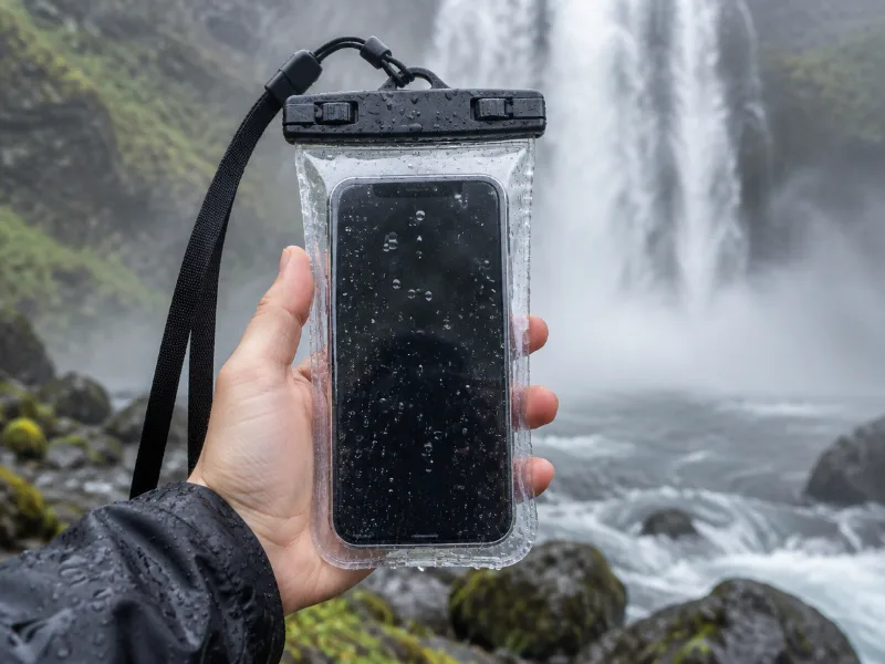 Illustration Lamicall waterproof phone pouch (IPX8) Keeps your phone dry in mist and spray near the falls, and you can still take photos through the clear window. View on Amazon
 -
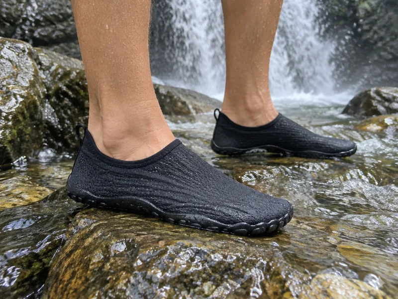 Illustration SIMARI quick-dry water shoes for women and men Grip on slick rocks at the plunge pool and dry fast on the hike out. View on Amazon
We haven't tested these ourselves; we chose them by size and specs. As an Amazon Associate we earn from qualifying purchases, at no extra cost to you. Check the current price on Amazon.
More waterfalls nearby
- Upper Whiteoak Falls 62 ft · near Stanley · 1 mi Directions
- Upper Whiteoak Falls 85 ft · near Stanley · 1 mi Directions
- Cedar Run Falls near Stanley · 1 mi · trailhead 1.4 mi Directions
- Climbing Rose Falls near Stanley · 3 mi Directions
- Rose River Falls 66 ft · near Stanley · 3 mi Directions
- Dark Hollow Falls 69 ft · near Stanley · 5 mi Directions
- Big Rock Falls near Stanley · 6 mi Directions
- Lewis Spring Falls 79 ft · near Stanley · 6 mi Directions
Frequently asked questions
How do I get to Lower Whiteoak Falls?
In Virginia, about 8 miles from Stanley, at 38.5559, -78.3532. The directions link takes you to the nearest road; the last part may be a trail.
How tall is Lower Whiteoak Falls?
About 59 feet (18 meters), according to OpenStreetMap.
What is the best season for Lower Whiteoak Falls?
Spring melt and wet weeks bring the biggest flow. Around Stanley the most rainy days fall from May to July (about 8 per month). February is the driest month with about 5 rainy days, so smaller falls can thin out then.
How far is Lower Whiteoak Falls from Arlington, VA?
Lower Whiteoak Falls sits about 71 miles west of Arlington, VA; driving distance is a bit longer.
What other waterfalls are near Lower Whiteoak Falls?
Upper Whiteoak Falls (1 mi), Upper Whiteoak Falls (1 mi), Cedar Run Falls (1 mi) and Climbing Rose Falls (3 mi).