 Outdoors Nearby
South River Falls
South River Falls is a waterfall in Virginia, about 7 miles from Elkton. It is mapped as about 89 feet (27 m) high and at 2,129 feet elevation. You can combine the trip with Dry Run Falls or Cedar Falls.
| Location | Near Elkton, Virginia Directions |
|---|---|
| Height | about 89 ft (27 m) |
| Elevation | 2,129 ft |
Mapped by OpenStreetMap volunteers. Trails can close after storms or in winter; check with the park or forest office.
Best time to visit: South River Falls
From Richmond, VA it is roughly 80 miles northwest as the crow flies.
Waterfalls run fullest after rain and snowmelt. Around Elkton the most rainy days fall from April to June (about 8 per month). October is the driest month with about 5 rainy days, which is when seasonal falls are most likely to be low. From December to February average lows are 24 to 28 °F. Spray turns to ice on rocks and steps, so traction cleats are worth packing.
| Month | High | Low | Rain days |
|---|---|---|---|
| Jan | 45 °F | 24 °F | 6 |
| Feb | 48 °F | 26 °F | 5 |
| Mar | 56 °F | 33 °F | 7 |
| Apr | 68 °F | 43 °F | 7 |
| May | 75 °F | 53 °F | 8 |
| Jun | 83 °F | 62 °F | 8 |
| Jul | 87 °F | 65 °F | 7 |
| Aug | 86 °F | 64 °F | 6 |
| Sep | 79 °F | 56 °F | 6 |
| Oct | 69 °F | 44 °F | 5 |
| Nov | 58 °F | 34 °F | 5 |
| Dec | 49 °F | 28 °F | 6 |
More to do nearby
- The Rink at Massanutten Resort (ice rink, 14 mi)
For the trail to the falls
-
 Illustration Bestseller Lightweight hydration backpack with 2L water bladder Sip while you climb back up from the falls. The return hike is usually the steep part. View on Amazon
 -
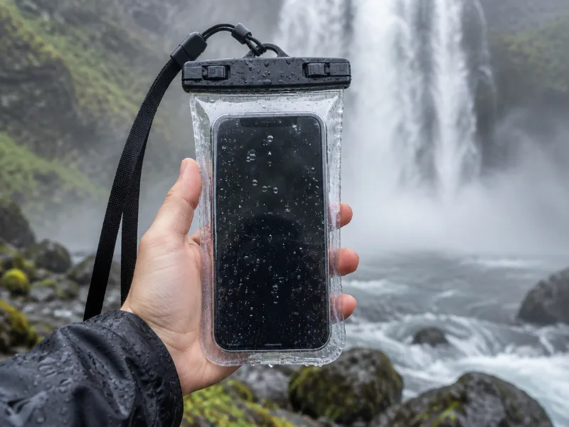 Illustration Lamicall waterproof phone pouch (IPX8) Keeps your phone dry in mist and spray near the falls, and you can still take photos through the clear window. View on Amazon
We haven't tested these ourselves; we chose them by size and specs. As an Amazon Associate we earn from qualifying purchases, at no extra cost to you. Check the current price on Amazon.
More waterfalls nearby
- Dry Run Falls near Elkton · 2 mi Directions
- Cedar Falls near Elkton · 2 mi Directions
- Big Creek Falls 151 ft · near Stanley · 6 mi · trailhead 0.8 mi · seasonal Directions
- Upper Big Creek Falls 33 ft · near Stanley · 6 mi · trailhead 0.7 mi · seasonal Directions
- Naked Creek Falls near Stanley · 8 mi Directions
- Big Rock Falls near Stanley · 9 mi Directions
- Lewis Spring Falls 79 ft · near Stanley · 10 mi Directions
- Dark Hollow Falls 69 ft · near Stanley · 10 mi Directions
Frequently asked questions
Where is South River Falls located?
In Virginia, about 7 miles from Elkton, at 38.3794, -78.5005. Directions lead to the waterfall itself, so check whether a trail starts near Elkton.
How tall is South River Falls?
About 89 feet (27 meters), according to OpenStreetMap.
What is the best season for South River Falls?
Waterfalls run fullest after rain and snowmelt. Around Elkton the most rainy days fall from April to June (about 8 per month). October is the driest month with about 5 rainy days, which is when seasonal falls are most likely to be low.
How far is South River Falls from Richmond, VA?
From Richmond, VA it is roughly 80 miles northwest as the crow flies.
What other waterfalls are near South River Falls?
Dry Run Falls (2 mi), Cedar Falls (2 mi), Big Creek Falls (6 mi) and Upper Big Creek Falls (6 mi).