 Outdoors Nearby
Falls Creek Falls
Falls Creek Falls is a waterfall in Washington, about 14 miles from Carson. On the map it is about 335 feet (102 m) high. Panther Creek Falls is another fall in the area.
| Location | Near Carson, Washington Directions |
|---|---|
| Trail parking | Falls Creek Falls Trailhead, about 1.3 mi from the falls straight-line distance to Falls Creek Falls; the trail itself is longer Directions to the parking |
| Height | about 335 ft (102 m) |
Location and details from OpenStreetMap. Water levels rise quickly after rain upstream, so keep away from the edge.
Best time to visit: Falls Creek Falls
Falls Creek Falls is about 38 miles northeast of Gresham, OR, measured in a straight line.
Waterfalls run fullest after rain and snowmelt. Near Carson the most rainy days fall from November to January (about 16 per month). July is the driest month with about 1 rainy day, which is when seasonal falls are most likely to be low. From December to February average lows are 29 °F. Frozen falls can look great, but trails and viewing areas get icy.
| Month | High | Low | Rain days |
|---|---|---|---|
| Jan | 38 °F | 29 °F | 17 |
| Feb | 43 °F | 29 °F | 13 |
| Mar | 50 °F | 31 °F | 14 |
| Apr | 57 °F | 35 °F | 12 |
| May | 66 °F | 41 °F | 8 |
| Jun | 72 °F | 46 °F | 5 |
| Jul | 81 °F | 49 °F | 1 |
| Aug | 82 °F | 49 °F | 2 |
| Sep | 74 °F | 44 °F | 4 |
| Oct | 60 °F | 38 °F | 9 |
| Nov | 46 °F | 33 °F | 15 |
| Dec | 38 °F | 29 °F | 17 |
For the trail to the falls
-
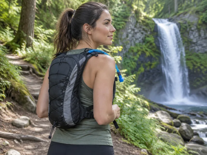 Illustration Bestseller Lightweight hydration backpack with 2L water bladder Sip while you climb back up from the falls. The return hike is usually the steep part. View on Amazon
 -
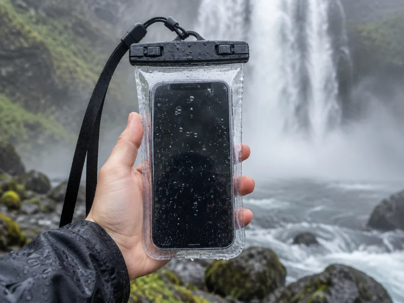 Illustration Lamicall waterproof phone pouch (IPX8) Keeps your phone dry in mist and spray near the falls, and you can still take photos through the clear window. View on Amazon
We haven't tested these ourselves; we chose them by size and specs. As an Amazon Associate we earn from qualifying purchases, at no extra cost to you. Check the current price on Amazon.
More waterfalls nearby
- Panther Creek Falls 138 ft · near Carson · 5 mi Directions
- Upper Curly Creek Falls near Carson · 9 mi Directions
- McClellan Falls 144 ft · near Carson · 9 mi Directions
- Upper Siouxon Falls 16 ft · near Yacolt · 9 mi Directions
- Middle Siouxon Falls 36 ft · near Yacolt · 10 mi Directions
- Rush Creek Falls 207 ft · near Carson · 10 mi Directions
- Chinook Falls 62 ft · near Yacolt · 10 mi Directions
- Miller Creek Falls near Carson · 11 mi Directions
Frequently asked questions
How do I get to Falls Creek Falls?
In Washington, about 14 miles from Carson, at 45.9100, -121.9138. Check trail and parking details with the park, forest or town before you set out.
Where does the hike to Falls Creek Falls start?
The closest trail parking on the map is Falls Creek Falls Trailhead, about 1.3 miles from Falls Creek Falls in a straight line. The walking distance is longer and depends on the trail.
How tall is Falls Creek Falls?
About 335 feet (102 meters), according to OpenStreetMap.
When does Falls Creek Falls have the most water?
Waterfalls run fullest after rain and snowmelt. Near Carson the most rainy days fall from November to January (about 16 per month). July is the driest month with about 1 rainy day, which is when seasonal falls are most likely to be low.
How far is Falls Creek Falls from Gresham, OR?
Falls Creek Falls is about 38 miles northeast of Gresham, OR, measured in a straight line.
What other waterfalls are near Falls Creek Falls?
Panther Creek Falls (5 mi), Upper Curly Creek Falls (9 mi), McClellan Falls (9 mi) and Upper Siouxon Falls (9 mi).