 Outdoors Nearby
Upper Rock Creek Falls
Upper Rock Creek Falls is a waterfall in Washington, about 1 mile from Stevenson. It is mapped as about 39 feet (12 m) high. You can combine the trip with Lower Rock Creek Falls or Dry Creek Falls.
| Location | Near Stevenson, Washington Directions |
|---|---|
| Height | about 39 ft (12 m) |
Mapped by OpenStreetMap volunteers. Swim only where it is allowed; pools below falls can hide currents.
Best time to visit: Upper Rock Creek Falls
From Gresham, OR it is roughly 29 miles northeast as the crow flies.
The best show comes after a wet spell. Around Stevenson the most rainy days fall from November to January (about 17 per month). July is the driest month with about 2 rainy days, which is when seasonal falls are most likely to be low.
| Month | High | Low | Rain days |
|---|---|---|---|
| Jan | 43 °F | 34 °F | 16 |
| Feb | 47 °F | 36 °F | 14 |
| Mar | 53 °F | 38 °F | 16 |
| Apr | 59 °F | 42 °F | 14 |
| May | 67 °F | 48 °F | 9 |
| Jun | 72 °F | 52 °F | 7 |
| Jul | 79 °F | 57 °F | 2 |
| Aug | 80 °F | 58 °F | 2 |
| Sep | 74 °F | 53 °F | 5 |
| Oct | 62 °F | 47 °F | 11 |
| Nov | 50 °F | 40 °F | 17 |
| Dec | 42 °F | 35 °F | 17 |
For the trail to the falls
-
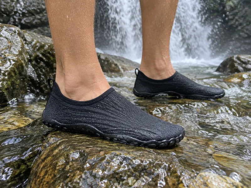 Illustration SIMARI quick-dry water shoes for women and men Grip on slick rocks at the plunge pool and dry fast on the hike out. View on Amazon
 -
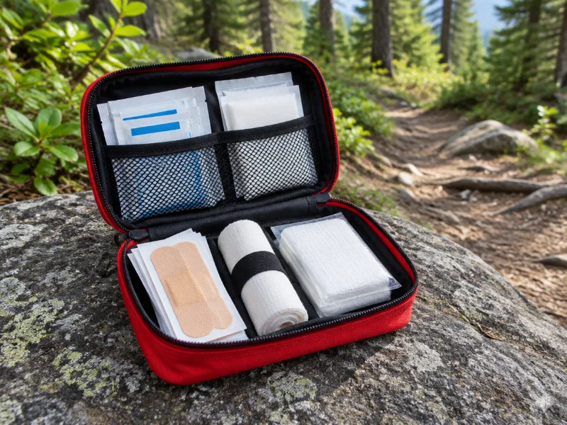 Illustration Protect Life small travel first aid kit Slips and scraped knees happen on wet trails. A small kit fits any daypack. View on Amazon
We haven't tested these ourselves; we chose them by size and specs. As an Amazon Associate we earn from qualifying purchases, at no extra cost to you. Check the current price on Amazon.
More waterfalls nearby
- Lower Rock Creek Falls 52 ft · near Stevenson · 1 mi Directions
- Dry Creek Falls 72 ft · near Cascade Locks · 3 mi Directions
- Greenleaf Falls 262 ft · near Stevenson · 3 mi Directions
- Pacific Crest Falls near Cascade Locks · 3 mi · trailhead 1 mi Directions
- Lower Ruckel Creek Falls near Stevenson · 4 mi · trailhead 0.8 mi Directions
- Nick Eaton Falls near Cascade Locks · 4 mi Directions
- Wauna Falls near Stevenson · 5 mi Directions
- Metlako Falls 102 ft · near Cascade Locks · 5 mi Directions
Frequently asked questions
Where is Upper Rock Creek Falls?
In Washington, about 1 miles from Stevenson, at 45.6997, -121.8997. Directions lead to the waterfall itself, so check whether a trail starts near Stevenson.
How tall is Upper Rock Creek Falls?
About 39 feet (12 meters), according to OpenStreetMap.
When is the best time to see Upper Rock Creek Falls?
The best show comes after a wet spell. Around Stevenson the most rainy days fall from November to January (about 17 per month). July is the driest month with about 2 rainy days, which is when seasonal falls are most likely to be low.
How far is Upper Rock Creek Falls from Gresham, OR?
From Gresham, OR it is roughly 29 miles northeast as the crow flies.
What other waterfalls are near Upper Rock Creek Falls?
Lower Rock Creek Falls (1 mi), Dry Creek Falls (3 mi), Greenleaf Falls (3 mi) and Pacific Crest Falls (3 mi).