 Outdoors Nearby
Waterfalls near Cullowhee, NC
111 named waterfalls have Cullowhee, NC as their nearest town, the tallest mapped one being High Falls at about 98 feet. Wolf Creek Falls is the closest, about 5 miles out.
- High Falls 98 ft Directions
- Hatcher Falls 33 ft Directions
- Silver Run Falls 26 ft Directions
- 55MPH Falls Directions
- Aggrandizement Falls Directions
- Anvil Horn Falls Directions
- Balsam Falls Directions
- Bedrock Falls Directions
- Betsy Falls Directions
- Big Branch Falls Directions
- Big Hole Falls Directions
- Big Ledge Falls Directions
- Bonas Defeat Falls Directions
- Breakbone Falls Directions
- Carlton Falls trailhead 0.9 mi Directions
- Cashiers Sliding Rock trailhead 1.1 mi Directions
- Catamount Falls Directions
- Charley Bridge Falls Directions
- Charley Creek Falls Directions
- Charlie Falls Directions
- Chastine Creek Falls Directions
- Coolidge Falls Directions
- Coyote Falls Directions
- Cullowhee Creek Falls Directions
- Dana Falls Directions
- Democrat Canyon Falls Directions
- Doe Branch Falls Directions
- Doghobble Falls Directions
- Dryland Laurel Branch Falls Directions
- Elbow Falls Directions
- Entrance Falls Directions
- Exit Falls Directions
- Fairfield Falls Directions
- First Falls Directions
- Flat Creek Falls Directions
- FR89 Falls Directions
- Frolictown Falls Directions
- Fulfillment Falls Directions
- Gage Creek Falls Directions
- Gladie Creek Falls Directions
- Glassyrock Creek Falls Directions
- Grandmas Kitchen Falls Directions
- Granny Burrell Falls Directions
- Grassy Creek Falls Directions
- Great Falls Directions
- Greenland Creek Falls trailhead 0.5 mi Directions
- Halfway Falls trailhead 0.7 mi Directions
- Hidden Falls Directions
- Hornet Falls Directions
- Hurricane Falls Directions
- Jawbone Falls trailhead 1.1 mi Directions
- Julie Falls Directions
- Laurel Falls Directions
- Lauren Falls Directions
- Lichen Falls Directions
- Lower Abbs Creek Falls Directions
- Lower Balsam Falls Directions
- Mac's Falls trailhead 0.3 mi Directions
- Maidenhair Falls Directions
- Merge Lane Falls Directions
- Mill Creek Falls Directions
- Moses Creek Falls trailhead 1.1 mi Directions
- Mount Toxaway Falls Directions
- Narrows Falls Directions
- Nasty Falls Directions
- Nellies Falls Directions
- Noisy Falls Directions
- Norton Falls Directions
- Onion Cliff Falls Directions
- Onion Falls Directions
- Packs Falls Directions
- Panthertown Creek Falls Directions
- Paradise Falls Directions
- Patricia Falls Directions
- Pittypat Falls Directions
- Portage Left Falls Directions
- Pothole Falls trailhead 0.4 mi Directions
- Rainbow Falls Directions
- Red Butt Falls Directions
- Riding Ford Falls trailhead 1.2 mi Directions
- Robinson Creek Falls Directions
- Rocky Knob Falls Directions
- Rough Butt Creek Falls Directions
- Roy Taylor Falls Directions
- Schoolhouse Falls trailhead 0.6 mi Directions
- Silver Slip Falls Directions
- Slatten Falls Directions
- Sleepy Hollow Falls Directions
- Slickens Creek Falls Directions
- Slippery Witch Falls Directions
- Sols Creek Falls Directions
- Sugar Creek Falls Directions
- Tiger Rock Falls Directions
- Tuckasegee River Falls Directions
- Twin Falls no public access
- Twin Falls Directions
- Twin Falls Directions
- Upper Abbs Creek Falls Directions
- Upper Silver Run Falls Directions
- Upper Sols Creek Falls Directions
- Upper Sugar Creek Falls Directions
- Upper Wolf Mountain Falls Directions
- Verde Falls Directions
- Waddle Branch Falls Directions
- Warden Falls trailhead 1 mi Directions
- Wheelchair Accessable Falls Directions
- Wilderness Falls Directions
- Will Falls Directions
- Wolf Creek Falls Directions
- Wolf Mountain Falls Directions
- Yellow Patch Falls Directions
More waterfalls within 25 miles
- Pittypat Falls near Cullowhee · 1 mi Directions
- Packs Falls near Cullowhee · 1 mi Directions
- Julie Falls near Cullowhee · 1 mi Directions
- Charlie Falls near Cullowhee · 1 mi Directions
- Will Falls near Cullowhee · 1 mi Directions
- Wilderness Falls near Cullowhee · 1 mi Directions
- Frolictown Falls near Cullowhee · 1 mi Directions
- Twin Falls near Cullowhee · 1 mi Directions
- Coolidge Falls near Cullowhee · 1 mi Directions
- Laurel Falls near Cullowhee · 1 mi Directions
For the trail to the falls
-
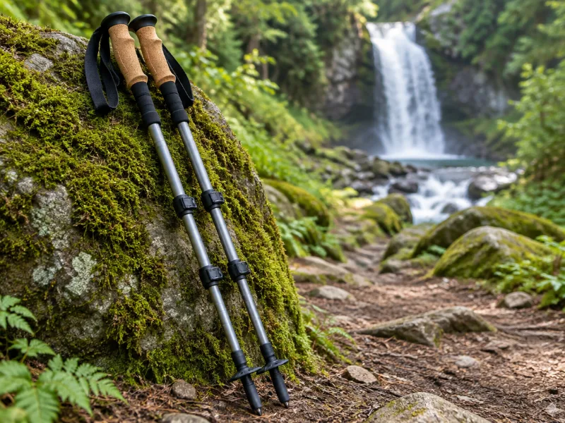 Illustration Bestseller TrailBuddy collapsible aluminum trekking poles (pair) Extra balance on wet rock and steep, muddy trails down to a waterfall. They fold short enough for a daypack. View on Amazon
 -
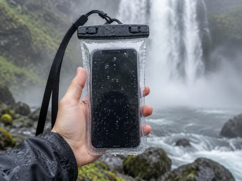 Illustration Lamicall waterproof phone pouch (IPX8) Keeps your phone dry in mist and spray near the falls, and you can still take photos through the clear window. View on Amazon
We haven't tested these ourselves; we chose them by size and specs. As an Amazon Associate we earn from qualifying purchases, at no extra cost to you. Check the current price on Amazon.
Other waterfall areas in North Carolina
Frequently asked questions
What waterfalls are near Cullowhee, NC?
High Falls, Hatcher Falls, Silver Run Falls, 55MPH Falls, Aggrandizement Falls and Anvil Horn Falls and 105 more. Each has a directions link on this page.
What is the tallest waterfall near Cullowhee?
Of those with a mapped height, High Falls at about 98 feet.
What other waterfalls are within driving distance of Cullowhee?
Within about 25 miles: Pittypat Falls near Cullowhee, Packs Falls near Cullowhee, Julie Falls near Cullowhee and Charlie Falls near Cullowhee.