 Outdoors Nearby
Waterfalls near Franklin, NC
64 named waterfalls have Franklin, NC as their nearest town, the tallest mapped one being Bridal Veil Falls at about 59 feet. Ray Cove Falls is the closest, about 3 miles out.
- Bridal Veil Falls 59 ft Directions
- Rufus Morgan Waterfall 59 ft Directions
- Big Laurel Falls Directions
- Blue Valley Falls Directions
- Brooks Creek Falls Directions
- Buck Creek Falls Directions
- Camp Branch Falls Directions
- Cane Creek Falls Directions
- Catstairs Falls Directions
- Corkscrew Falls trailhead 0.5 mi Directions
- Crawford Cove Falls Directions
- Crow Creek Falls Directions
- Cullasaja Falls Directions
- Dome Falls Directions
- Dry Falls Directions
- Fowler Creek Falls Directions
- Glen Falls Directions
- High Falls Directions
- Highlands Falls Directions
- Hiker's Peril Falls Directions
- Indian Camp Creek Falls Directions
- Kalakaleskies Falls Directions
- Katies Falls Directions
- Kindling Falls Directions
- Laurel Falls Directions
- Laurel Falls Directions
- Little Creek Falls trailhead 1.2 mi Directions
- Lower Satulah Falls Directions
- Lower Scotsman Creek Falls Directions
- Lower Serenity Falls Directions
- Lower Sloan Bridge Falls Directions
- Lower Stick Falls trailhead 0.7 mi Directions
- Middle Creek Falls Directions
- Mooney Falls Directions
- Naiad Falls Directions
- New Falls Directions
- Picklesimer Rock House Falls Directions
- Pinkerton Pool Falls Directions
- Pinky Falls Directions
- Pleasant Grove Church Falls Directions
- Pothole Falls Directions
- Quarry Falls Directions
- Ranger Falls Directions
- Ray Cove Falls Directions
- Satulah Falls Directions
- Scandin Falls Directions
- Scotsman Creek Falls Directions
- Secret Falls trailhead 0.4 mi Directions
- Sequoah Falls Directions
- Serenity Falls Directions
- Short Creek Falls Directions
- Shot Pouch Falls Directions
- Shut In Falls Directions
- Skitty Creek Falls Directions
- Slatten Branch Falls Directions
- Slick Stick Falls trailhead 0.7 mi Directions
- Stick Falls trailhead 0.8 mi Directions
- Thomas Falls Directions
- Upper Camp Branch Falls Directions
- Upper Crow Creek Falls Directions
- Upper Middle Creek Falls Directions
- Upper Scotsman Creek Falls Directions
- Upper Sloan Bridge Falls Directions
- Walkingstick Falls Directions
More waterfalls within 25 miles
- Shut In Falls near Franklin · 1 mi Directions
- Scandin Falls near Franklin · 1 mi Directions
- Dry Falls near Franklin · 2 mi Directions
- Quarry Falls near Franklin · 2 mi Directions
- Short Creek Falls near Franklin · 2 mi Directions
- Bridal Veil Falls 59 ft · near Franklin · 2 mi Directions
- Blue Valley Falls near Franklin · 2 mi Directions
- Kalakaleskies Falls near Franklin · 2 mi Directions
- Sequoah Falls near Franklin · 2 mi Directions
- Catstairs Falls near Franklin · 2 mi Directions
For the trail to the falls
-
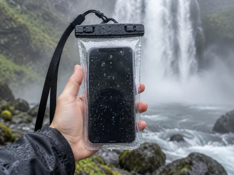 Illustration Lamicall waterproof phone pouch (IPX8) Keeps your phone dry in mist and spray near the falls, and you can still take photos through the clear window. View on Amazon
 -
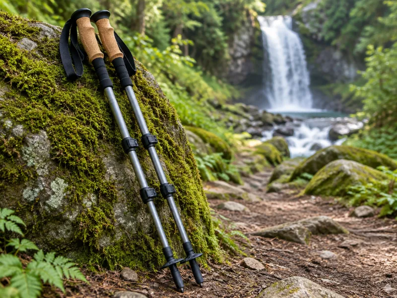 Illustration Bestseller TrailBuddy collapsible aluminum trekking poles (pair) Extra balance on wet rock and steep, muddy trails down to a waterfall. They fold short enough for a daypack. View on Amazon
We haven't tested these ourselves; we chose them by size and specs. As an Amazon Associate we earn from qualifying purchases, at no extra cost to you. Check the current price on Amazon.
Other waterfall areas in North Carolina
Frequently asked questions
Are there waterfalls near Franklin?
Bridal Veil Falls, Rufus Morgan Waterfall, Big Laurel Falls, Blue Valley Falls, Brooks Creek Falls and Buck Creek Falls and 58 more. Each has a directions link on this page.
What is the tallest waterfall near Franklin?
Of those with a mapped height, Bridal Veil Falls at about 59 feet.
What other waterfalls are within driving distance of Franklin?
Within about 25 miles: Shut In Falls near Franklin, Scandin Falls near Franklin, Dry Falls near Franklin and Quarry Falls near Franklin.